Central America
Costa Rica
Wedged between two oceans, with volcanoes and cloud forest that need no introduction.
This is Costa Rica
An isthmus narrow enough to see one ocean in the morning and hear the other by evening.
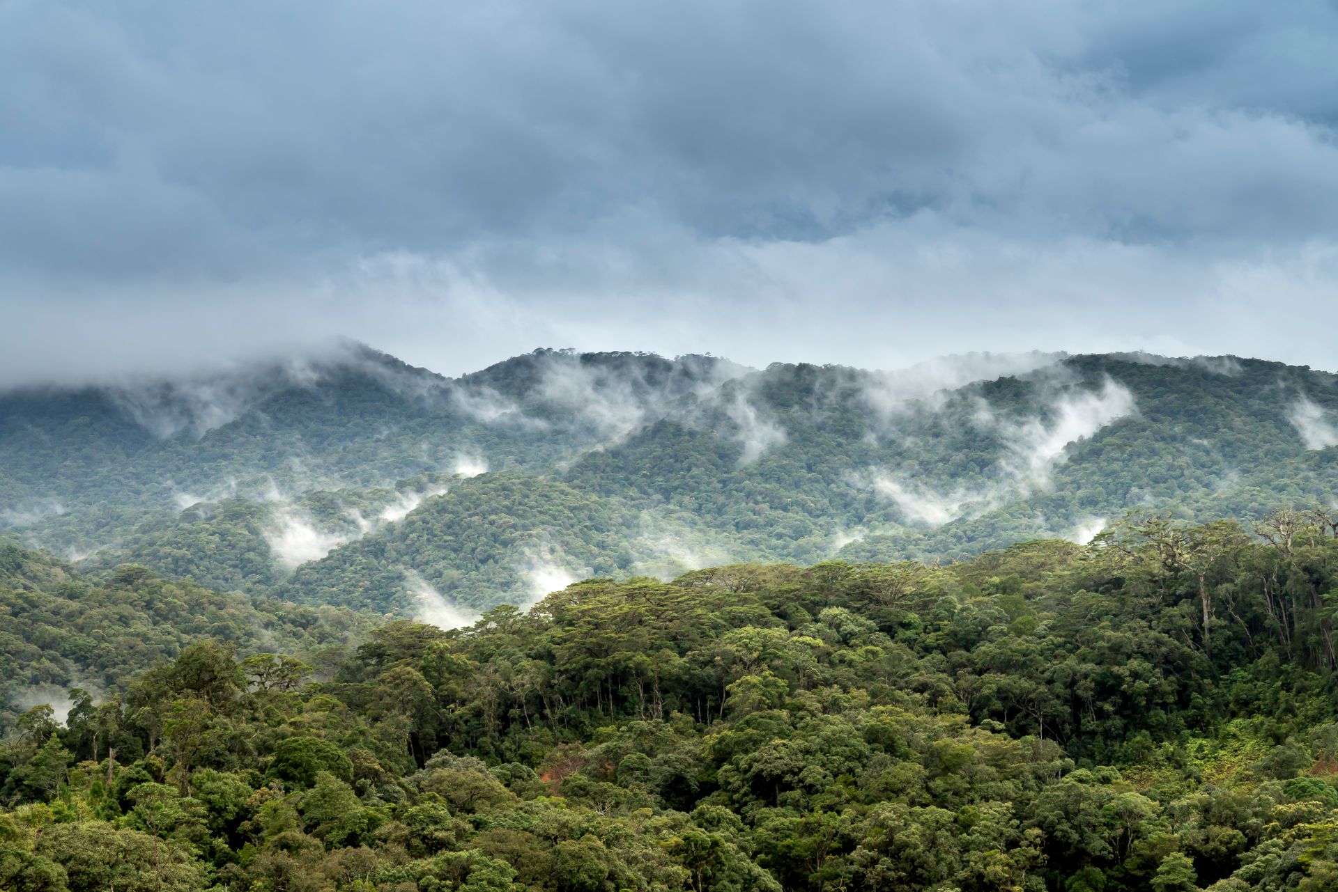
Wedged between two oceans, with volcanoes and cloud forest that need no introduction, Costa Rica is narrow enough to drive from the Pacific to the Caribbean rain in a single day, and surprisingly slow to cross for exactly that reason. The roads climb, drop and curl around a volcano's flank rather than past it.
The phrase that clings to this country everywhere, pura vida, says little about why it actually holds true. It holds true because you can drive from the dry, golden hills of Guanacaste to the mist of Monteverde in a single morning, and find both equally convincingly Costa Rica. We would rather start from that contrast than from the slogan.
The regions
Six faces of the same small country.
Costa Rica is nowhere large, but everywhere different. A few hours' drive changes the light, the vegetation and the rhythm of the day.

coast and dry forest
Guanacaste and the Nicoya Peninsula
The driest corner of the country, with savanna-like forest, the Rincón de la Vieja volcano and the Nicoya Peninsula, one of the few places in the world where people live remarkably long, healthy lives, without anyone having turned it into a programme.

highlands
The Central Highlands and their volcanoes
Around San José, the country is at its coolest: coffee plots reaching right up to the crater rims of Poás and Irazú, colonial villages such as Sarchí with their painted ox carts, and a pace noticeably calmer than on the coast.
cloud forest
Monteverde
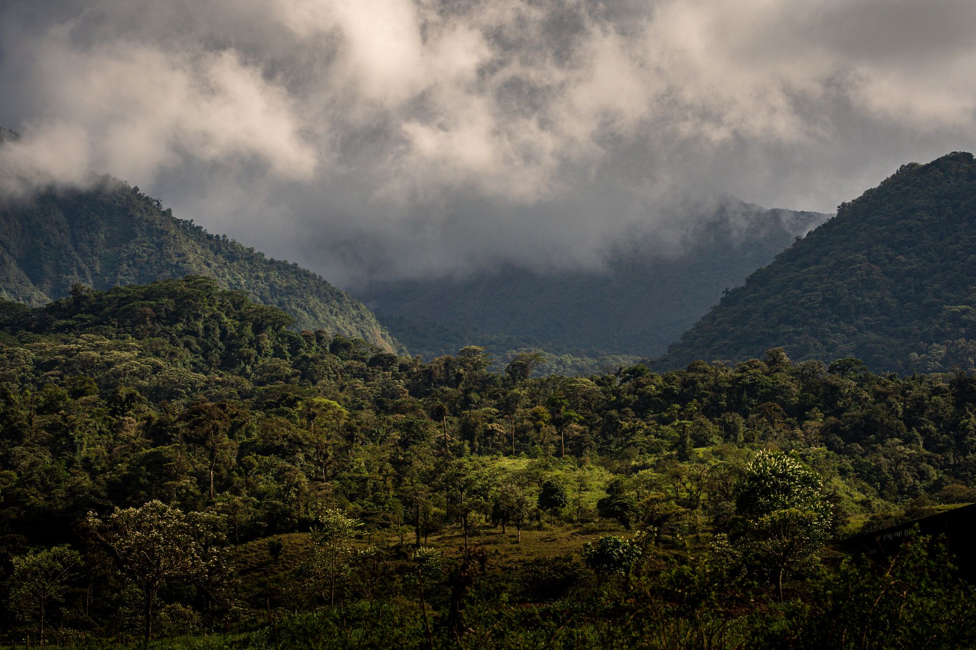
A cloud forest that lives up to its name: the temperature drops noticeably within a hundred metres of altitude, moss covers everything, and the chance of glimpsing a quetzal depends on patience, not on any guarantee.

volcano and hot springs
Arenal and La Fortuna
The near-perfect cone of Arenal dominates a region full of naturally heated rivers, not tiled pools but water that comes literally from the volcano, with the quiet Lake Arenal behind it.

rainforest
The Osa Peninsula and Corcovado
Remote, hard to reach and precisely for that reason one of the most densely forested places in the country: Corcovado Park, where scarlet macaws, tapirs and four species of monkey can all appear within the same walk.

Afro-Caribbean coast
The Caribbean coast
Puerto Viejo and Cahuita feel different from the rest of the country: Afro-Caribbean roots, another language beneath the language, and further on the canals of Tortuguero where sea turtles nest at night.

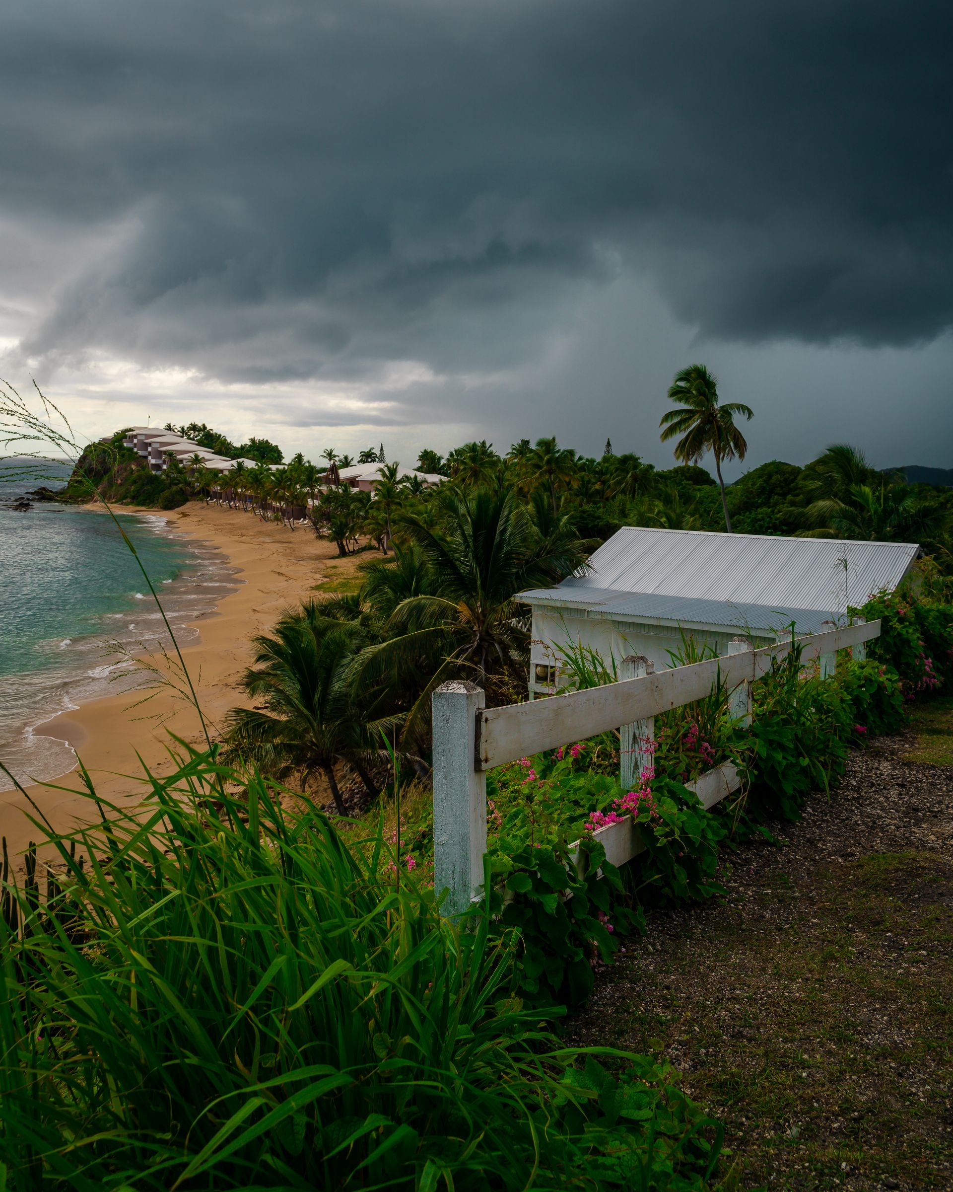
Two coasts, two shades of green, one country that won't be pinned to either.
Costa Rica covers barely 0.03 percent of the earth's land surface, yet it holds nearly five percent of every species we know.
You don't feel that in a number. You feel it on a forest walk where you stop every ten metres.
The nature
What grows, smokes and moves.
Three ways the country shows itself, with none outdoing the others.

Cloud forest
Damp, quiet and constantly shifting with the mist. Orchids grow on other plants, bromeliads catch their own pools of rainwater, and the sound of the forest changes with every band of altitude.

Volcanic land
More than two hundred volcanic formations pierce the landscape, a handful of them still active. Old lava flows now lie buried beneath new forest, and geothermal springs feed rivers and greenhouses alike.

Rainforest at high density
No safari language needed: on the Osa Peninsula, a single walk can turn up monkeys, a sloth, a string of frog species and a toucan, simply because the density of life is that high.

People
A country that abolished its army and let its forests grow back.
In 1948, Costa Rica abolished its army and redirected the budget into education instead. Decades later, when deforestation had nearly stripped the country bare, it chose another unusual path: paying farmers to leave forest standing instead of cutting it down. Forest cover has more than doubled since.
The guides you meet here often grew up in these valleys themselves, children of farmers or coastal families who knew the land up close long before ecotourism was a word that fit on a brochure.
What you can do here
Not a daily programme, but a country full of starting points.
This is not a complete list or a route, more a sense of the registers Costa Rica plays in.

Birdwatching in Monteverde and the Savegre Valley
With more than nine hundred recorded species, this is one of the richest birding regions in the world, the resplendent quetzal being the most sought after sighting, though far from the only one.

Swimming in naturally warm rivers near Arenal
The water comes straight from the volcano, not from a pipe: rivers and pools that still steam at night, surrounded by forest rather than sun loungers.

Canoeing through the canals of Tortuguero
Reachable only by boat: canals with caimans, howler monkeys along the banks and, in season, sea turtles nesting at night on the beach beyond.

Visiting a coffee farm in Tarrazú
High-altitude arabica, grown on slopes too steep for machine harvesting, is still picked here entirely by hand, plot by plot.

Diving at Isla del Caño
Off the coast of Osa, in the protected biological reserve, with a chance of hammerhead sharks and manta rays for anyone wanting to go further than a snorkelling trip.

Surfing along the Pacific coast
From the long right-hand breaks at Pavones to the more forgiving waves of Nosara and Santa Teresa, a coastline with enough variety for every level.
Tell us which of these registers speaks to you, and we build the rest of the trip around it.

The cloud forest of Monteverde, where the temperature can drop several degrees within just a hundred metres of altitude.
When would you travel?
Two coasts, two rhythms of rain.
On the Pacific side, December to April counts as the dry season, the classic time to travel, with clear skies and dusty roads in Guanacaste. What follows is called the green season here, and it is not a bad season: shorter, heavier showers, a lusher forest and far fewer people on the trails, often with a short drier spell in July.
The Caribbean coast follows a different rhythm altogether, independent of the Pacific calendar. February to March and September to October tend to be drier there than the rest of the year.
Jan
Feb
Mar
Apr
May
Jun
Jul
Aug
Sep
Oct
Nov
Dec
Top: dry season on the Pacific side, the classic time to travel.
Good: green season with shorter showers, lush nature and quieter trails.
Fair: the heaviest rain months, mainly inland and on the Pacific coast.
Looking past the highlights
Why we look at Costa Rica differently
Beyond the golden triangle Many trips get no further than San José, Arenal and Manuel Antonio. We also bring in the Osa Peninsula, the Savegre Valley or the Caribbean coast, where things are less predictable.
Ecotourism was policy here before it became a marketing word The national park system dates back to the 1970s. That deserves more than a zipline-and-suspension-bridge package. It deserves time and a guide who has known the area for years.
Two coasts aren't a choice, they're a tempo We never force anyone to choose between the Pacific and the Caribbean. We do plan realistically around mountain roads that are simply slow, however small the distance looks on a map.
Small lodges over big names Family-run lodges with a local owner often give more back to their surroundings than a big chain, and usually make for a better story over breakfast too.
Worth knowing
Practical, without the noise.
A few things that make planning easier.
- Arrival
- Flights mostly land in San José (SJO); Liberia (LIR) in the northwest sits closer to Guanacaste and saves hours of driving.
- Documents
- A passport valid for at least six months after arrival is enough for a short stay; Belgians travel visa-free.
- Health
- No mandatory vaccinations for most routes; mosquito protection is advisable in the lowland areas.
- Roads and pace
- Mountain roads are slow. Think in hours, not kilometres, and plan fewer moves than you might expect at first glance.
- Paying
- Card payment is widespread; the colón and US dollar are often accepted interchangeably.
Frequently asked questions
Do we need to visit both the Pacific and Caribbean coasts?
No. They differ enough to each be worthwhile on their own. We look at what suits you before proposing a route that combines both, or deliberately doesn't.
Will we always see wildlife?
Costa Rica is densely populated with life, but nothing is guaranteed. A good guide and the right timing make the difference, not a promise made in advance.
Is the green season a reason not to go?
Not necessarily. It brings shorter showers, lush nature and quieter trails, especially outside the heaviest rain months.
How much time do you need to get to know the country well?
Less than you'd think in terms of distance, more than you'd think in terms of time. The roads set the pace, not the kilometres.
Or perhaps this
Other destinations
Still weighing it up? That is no problem at all. The right country often only becomes clear once the conversation starts.
East Africa, Great Lakes region
Uganda
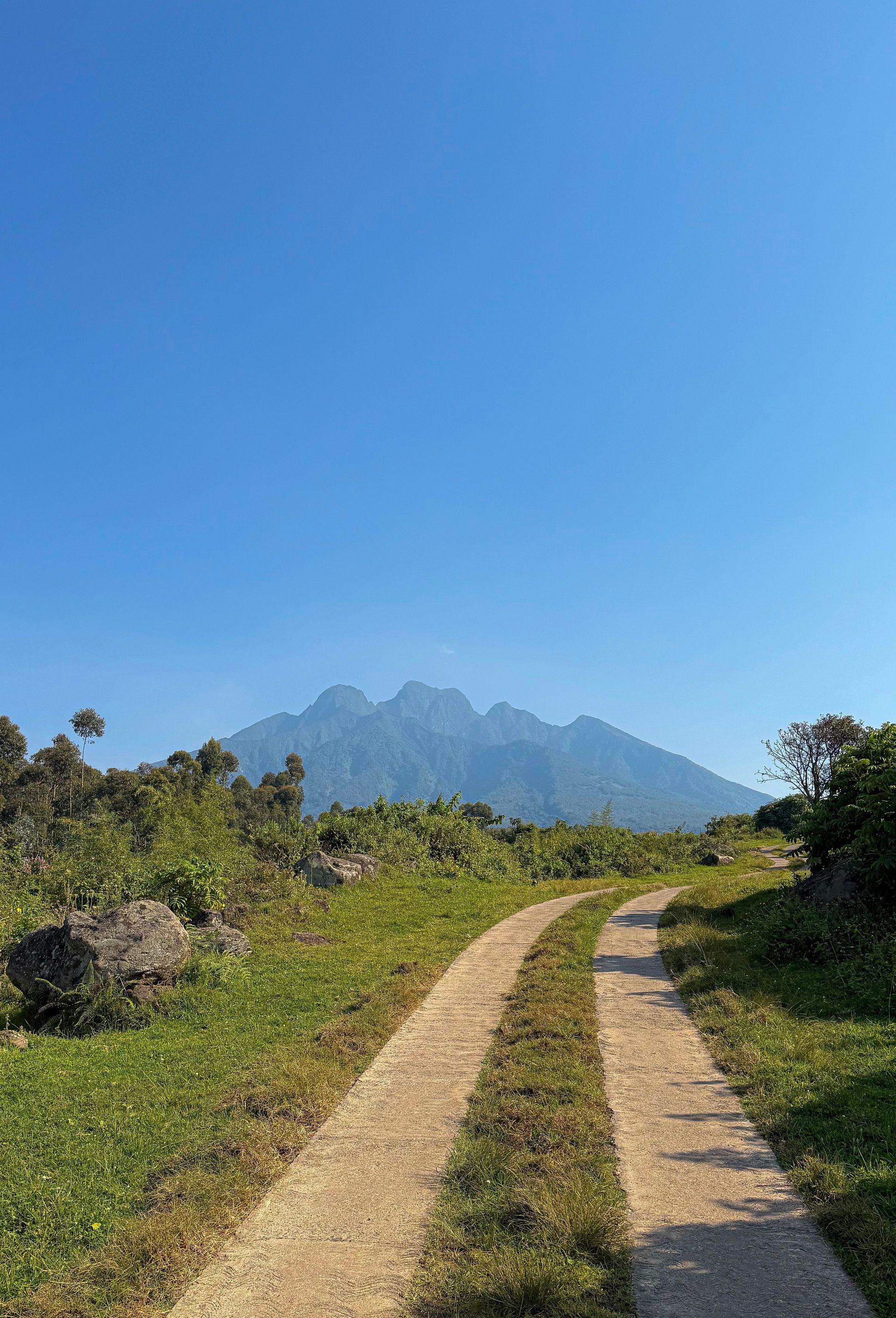
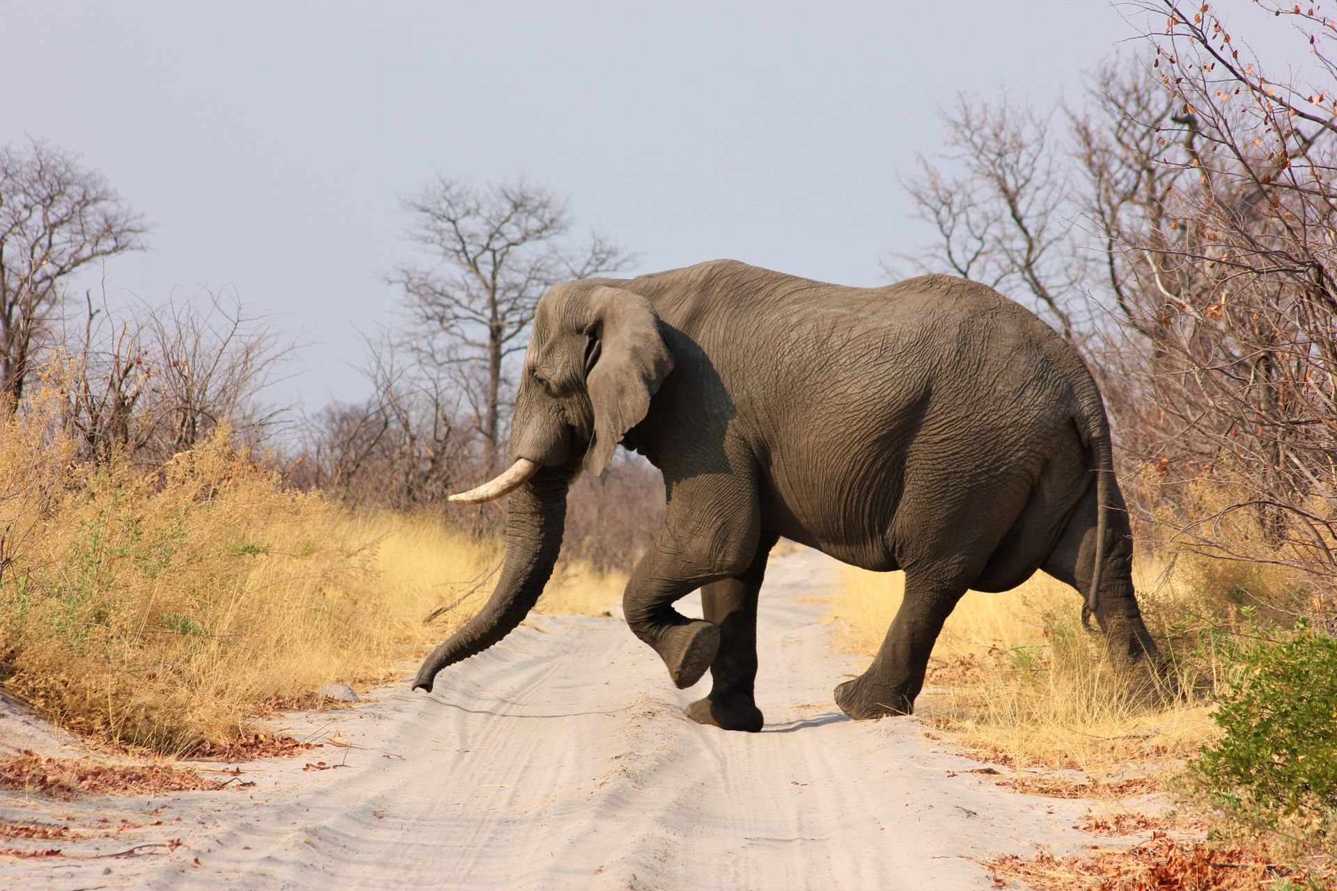
A land of volcanoes, rainforest and the source of the Nile, closer together than the map suggests.
Southern Africa, Zambezi valley
Zambia
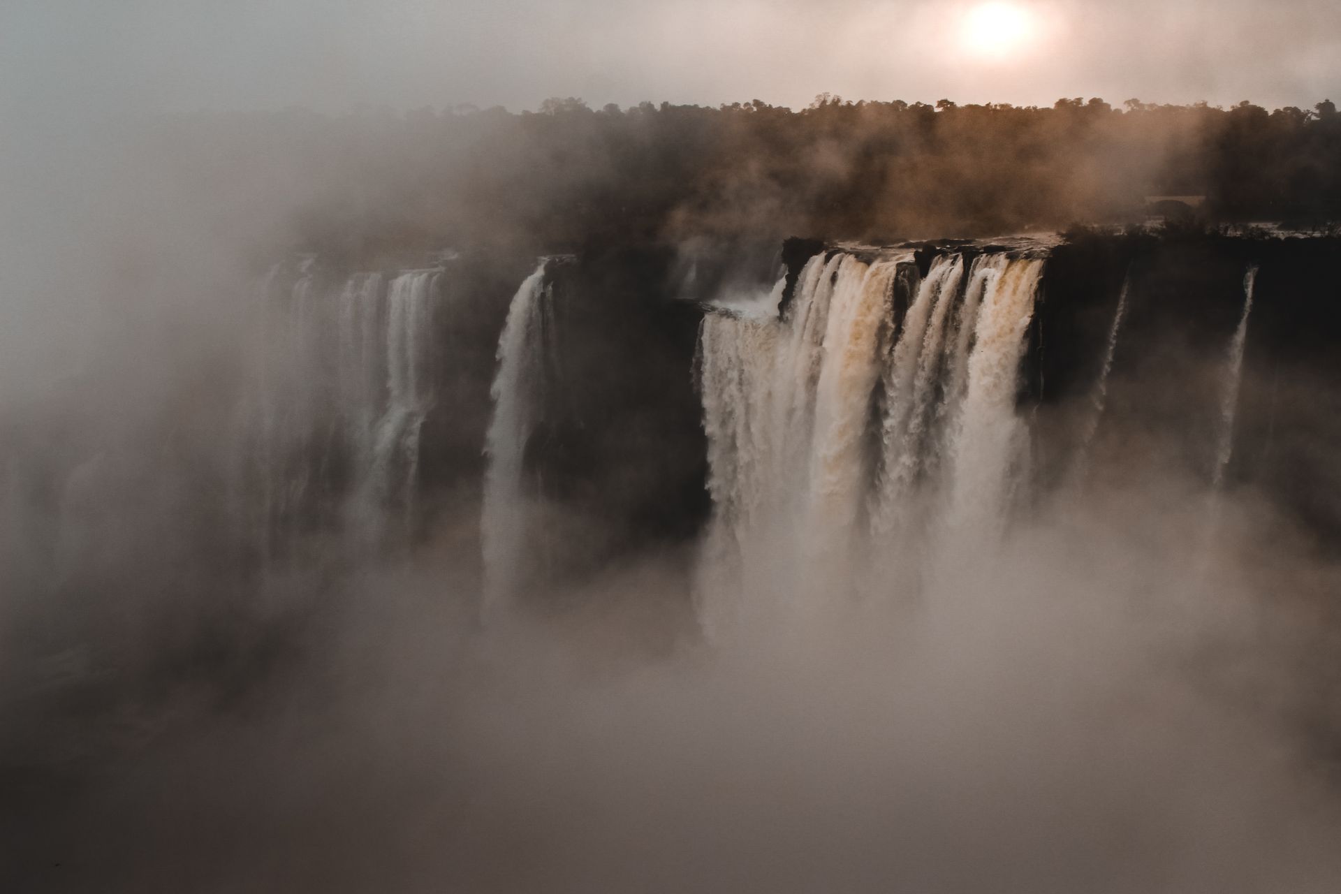
A country where the wilderness is still given real space, and the waterfall at its edge almost becomes an afterthought.
Southern Africa, Zambezi plateau
Zimbabwe
A country that has kept its national parks and hospitality intact, and it shows in the quality of its guides.
How it works
This is how your journey to Costa Rica takes shape.
Six steps, from your first story to your homecoming. The conversation and the feasibility check cost you nothing.
-
01
Tell us your story
Fill in the form or give us a call. You do not need a route yet: a country, a period or just an idea is enough.
-
02
The conversation and the check
We talk through what you are looking for, by phone or by video, and check whether it can be done. If it can, we set down together what we will make for you.
-
03
We design your journey
We build your programme up, day by day, together with our own people in the country itself.
-
04
Your proposal
You read your journey day by day, with everything that is included. You say what you would like differently, until it is right.
-
05
Ready to depart
You send us your details, we send you your travel documents. You have one fixed contact who knows your journey.
-
06
Travelling, and after
Your contact stays reachable while you are away. Once you are home, we call one more time.

The next step
How would you like to experience Costa Rica?
Two coasts, a cloud forest, a volcanic interior. There is no single right route. Tell us what you're after: stillness, wildlife, movement, or a combination you didn't yet know existed.