Indian Ocean
Madagascar
An island that wrote its own rules.
This is Madagascar
An island that has been going its own way for millions of years, and it shows in almost everything.
Ninety million years alone, and it shows in everything.
Around ninety million years ago, Madagascar broke away from what is now Africa, and the island has been running its own evolutionary clock ever since. Almost everything that grows and lives here grows and lives nowhere else: baobabs with trunks like water towers, lemurs that took the place of monkeys that never arrived, a plant world in which new species are still being described. Anyone arriving here is not looking at a variation on Africa. It is a continent of its own, just on the scale of an island.
The people did not arrive overland either. The first settlers crossed the Indian Ocean from what is now Indonesia, thousands of kilometres further than the nearby African mainland, an origin that still echoes in the language, in the rice terraces of the highlands and in the weight given to ancestors. Travelling from the red earth of the west to the rainforest of the east means crossing not only landscape, but those two origins as well.
Nature
Three landscapes with nothing in common
Madagascar doesn't move between beautiful and more beautiful. It moves between worlds, dry and humid, flat and vertical, quiet and loud, that happen to share the same island.
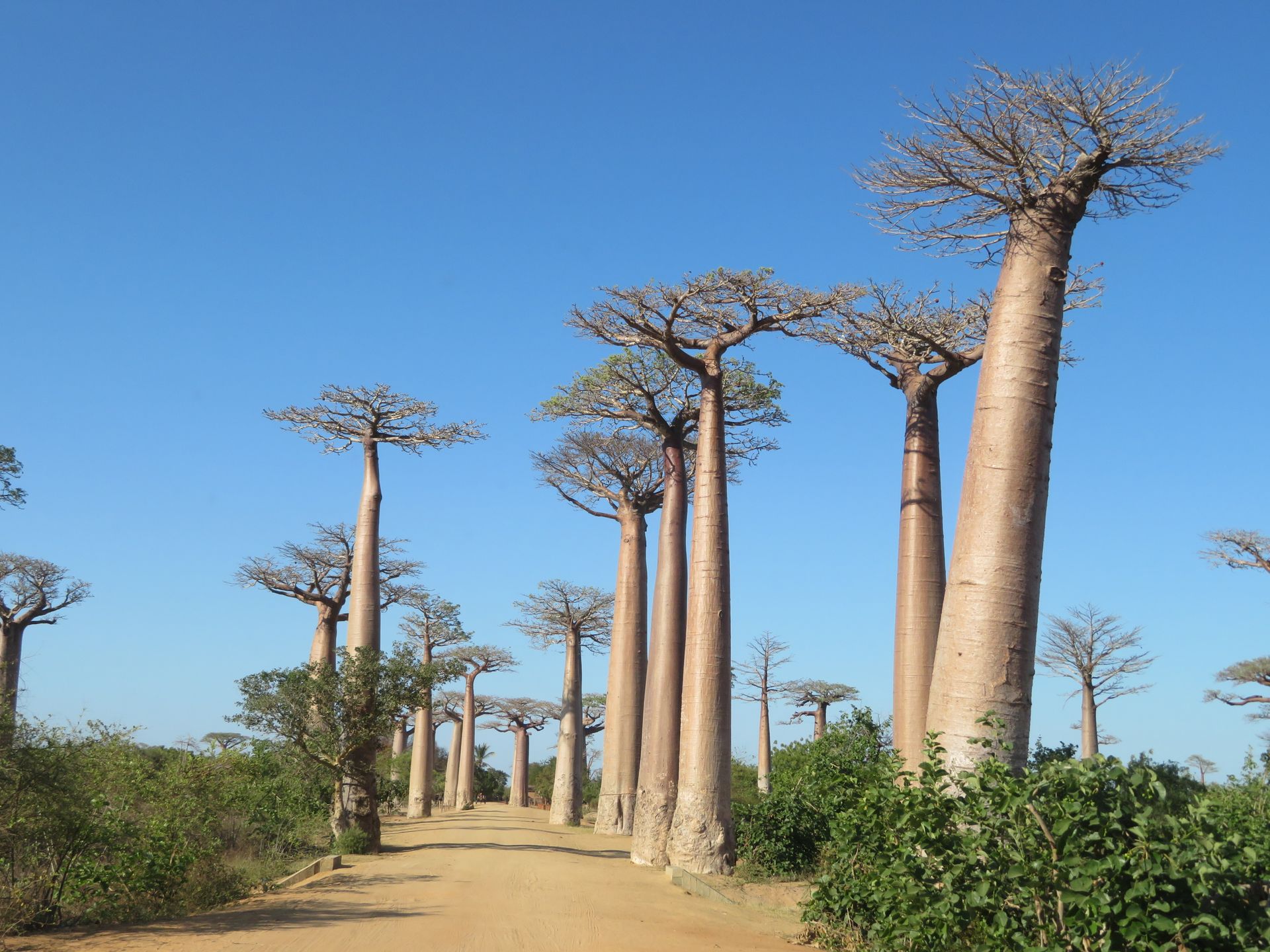
The Avenue of the Baobabs
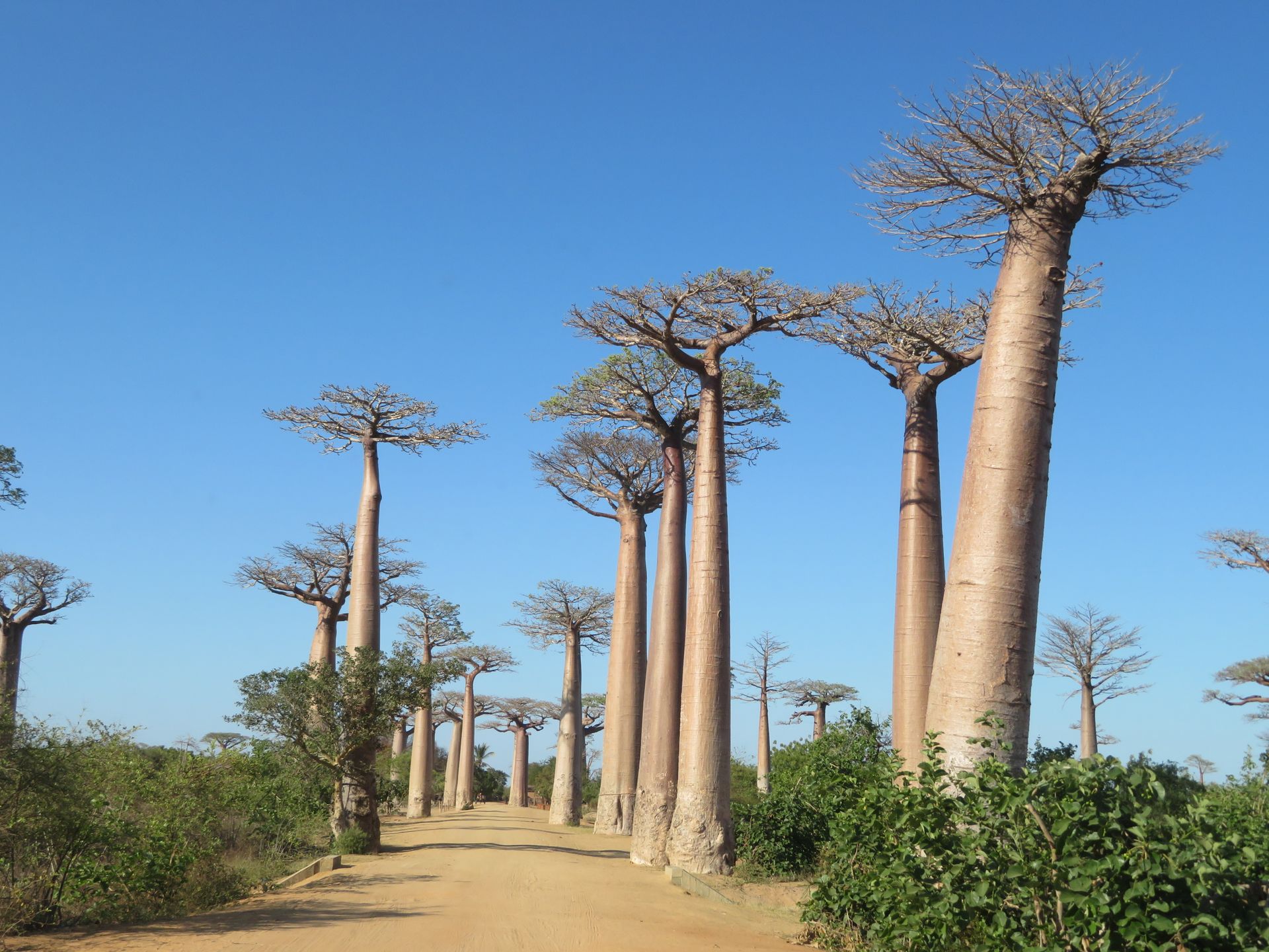
Near Morondava, in the Menabe region, some thirty Adansonia grandidieri line an ordinary dirt road, a baobab species found only here. There is nothing staged about it: it's a road locals still cross daily by ox cart, with the trees as an incidental, immense backdrop.

Lemurs, from whisper to roar
The indri, the largest living lemur, lets out a call each morning that carries up to three kilometres, heard in the rainforest of Andasibe. Elsewhere, in Kirindy, mouse lemurs small enough to fit in a palm come out at night. No two species behave alike, and no two parks show the same thing.
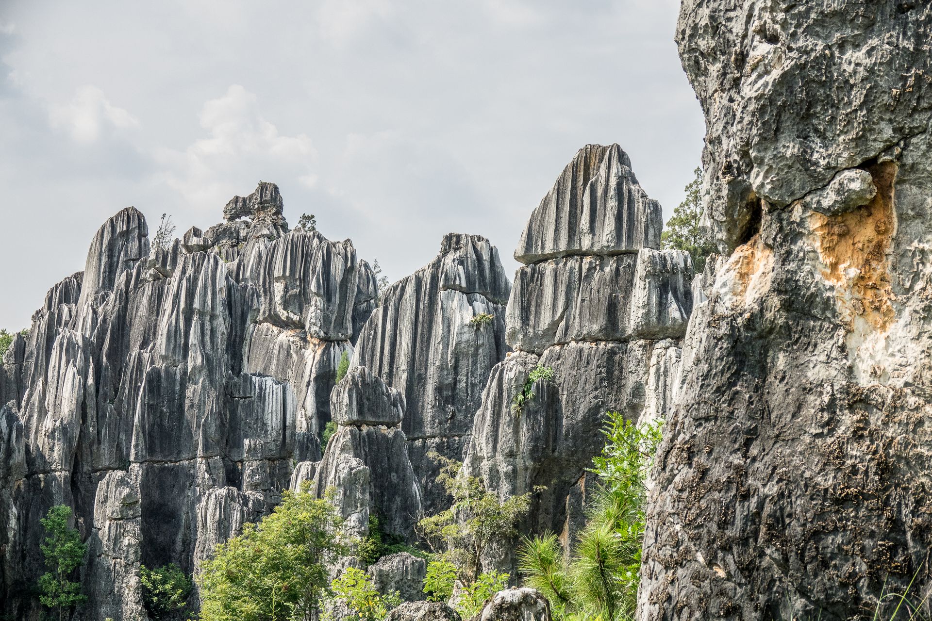
Tsingy, a limestone labyrinth
In the west, near Bemaraha, rainwater carved out a forest of limestone spires so sharp that the Malagasy name translates as 'walking on tiptoe'. Suspension bridges and ladders run through it, built by the local communities who manage the area.

The Avenue of the Baobabs, Menabe, an ordinary road between villages that happens to run past a row of centuries-old trees.
The regions
Five faces of the same island
Crossing the whole of Madagascar on one trip isn't a realistic plan. The distances and the roads don't allow it. It is, however, an island where every region tells a different part of the story.

Highlands
Antananarivo and the highlands
The capital sits above 1,200 metres, among rice terraces cut into the mountainsides. Villages around the city are home to Zafimaniry craftsmen who still carve wood without nails, a technique listed on Unesco's intangible heritage list.
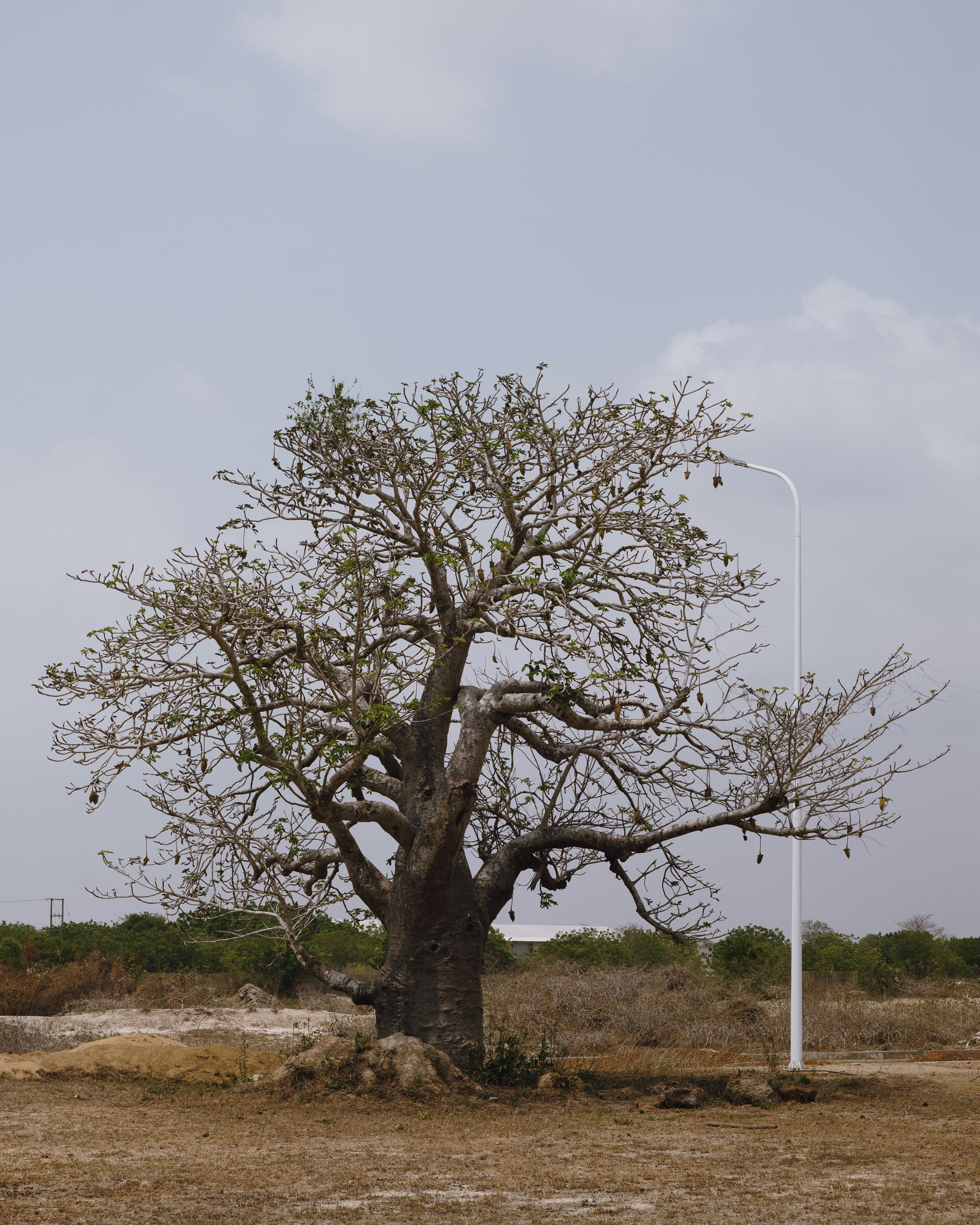
The west
Menabe and Bemaraha
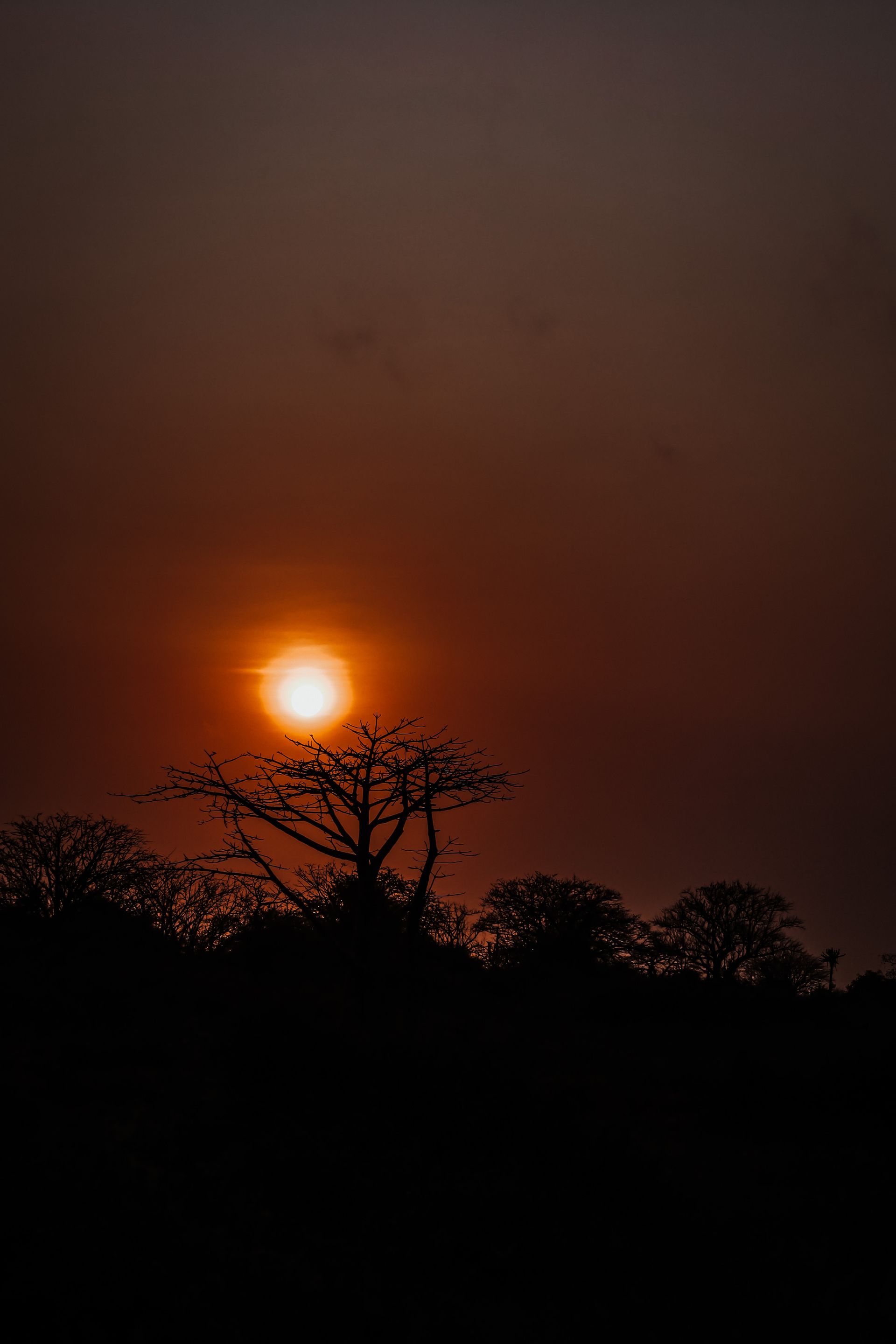
Dry, red and rugged: home to the baobab avenues and the limestone labyrinths of the tsingy, while at night the Kirindy forest reveals another Madagascar, with fossas and mouse lemurs.
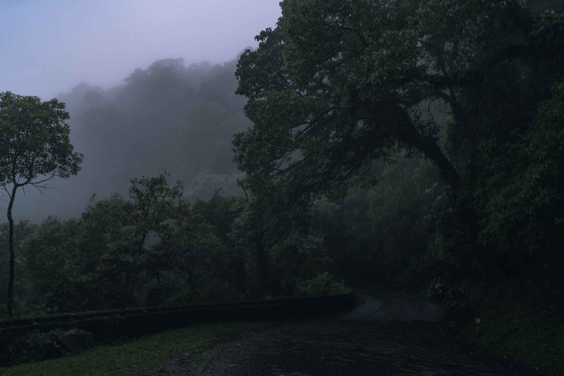
The east
The rainforest and the east coast
From Andasibe-Mantadia to the Pangalanes Canal runs a green, humid strip where the indri calls and where, in the Sava region around Sambava and Antalaha, much of the world's vanilla is grown.
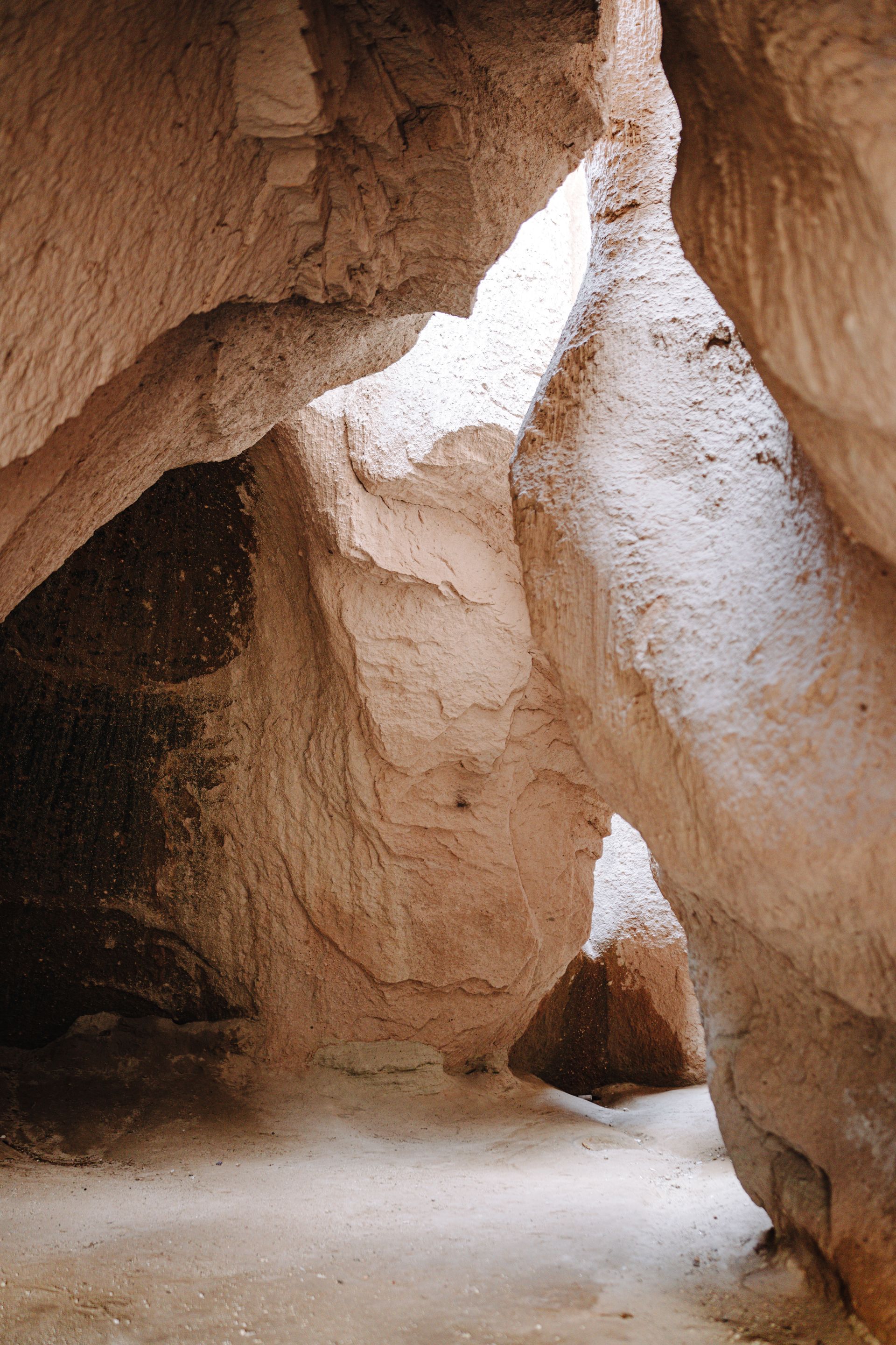
The south
Isalo and the spiny forests
Sandstone canyons reminiscent of the American west, followed by a spiny forest full of octopus trees towards Ifaty on the coast, a landscape found nowhere else on the island.
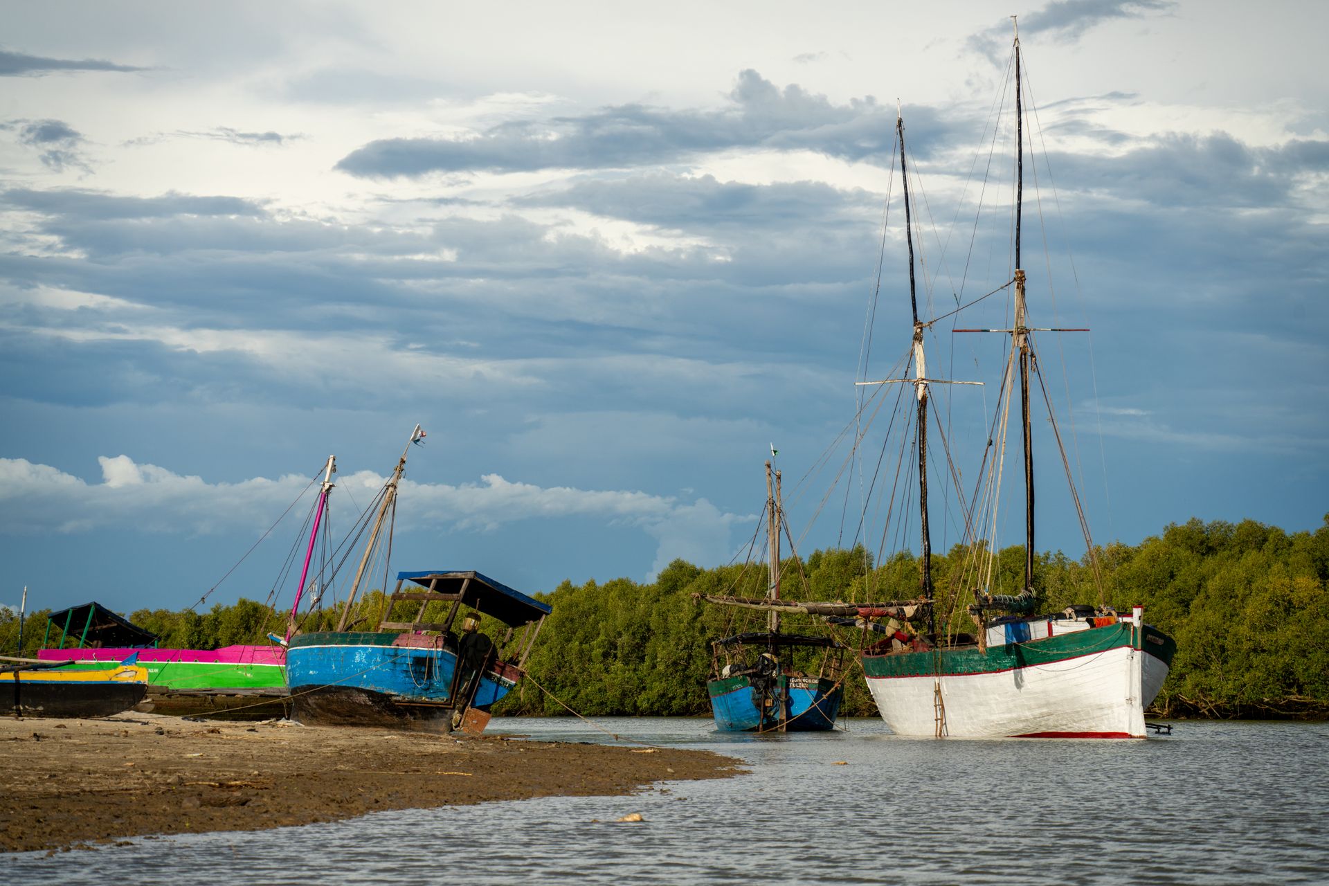
The islands
Nosy Be and Ile Sainte-Marie
For anyone craving salt water after the red earth: Nosy Be in the northwest with warm seas and ylang-ylang plantations, or Sainte-Marie, where humpback whales pass offshore between July and September.
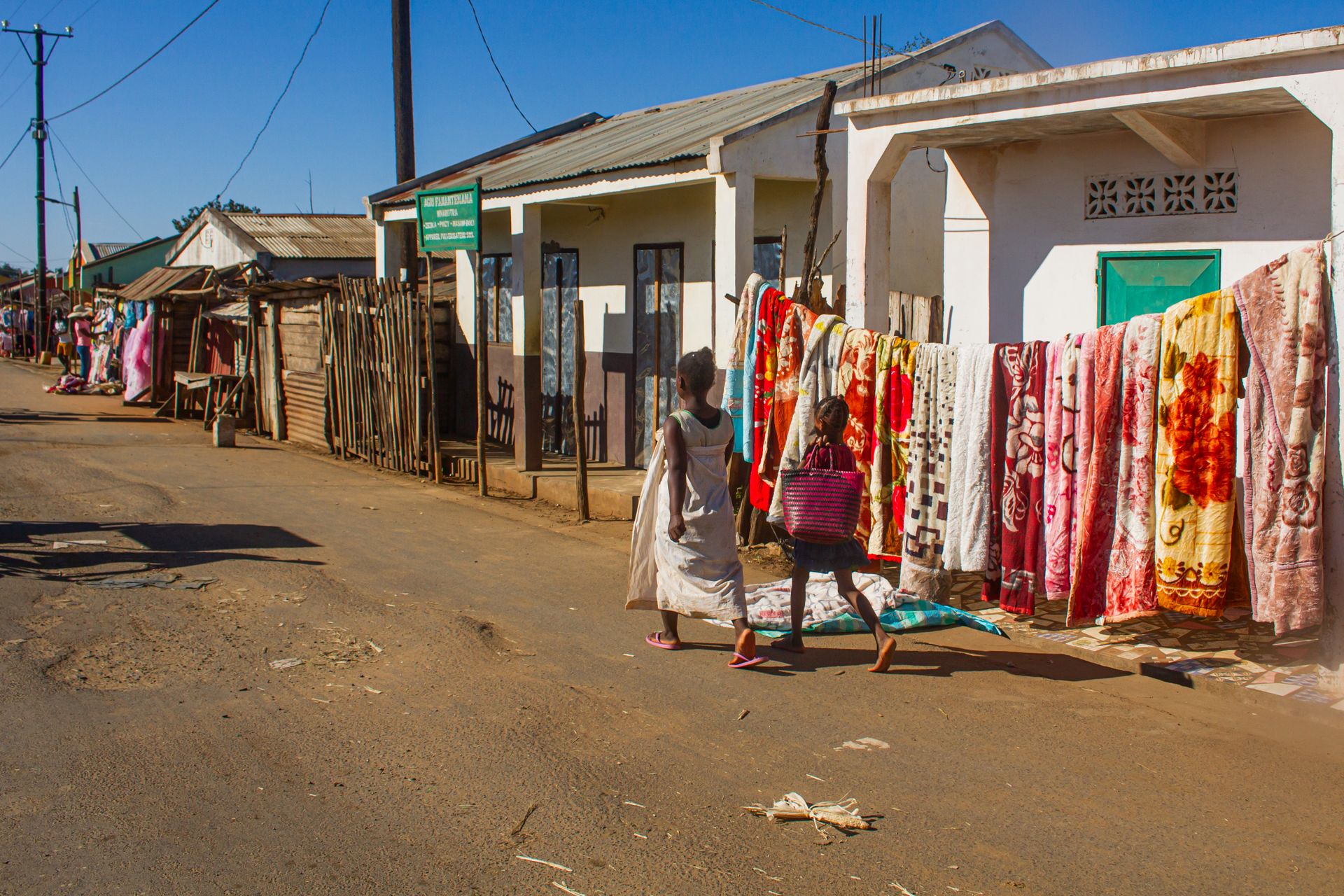
The people
Rice, zebu and ancestors who still count
Madagascar counts eighteen recognised peoples, from the Merina in the highlands to the Sakalava in the west and the Antandroy in the south, each with its own dialect, customs and relationship to the land. What they share is the weight given to ancestors: decisions, from a harvest to a marriage, are rarely made without taking them into account.
In the highland markets, everything revolves around rice and zebu, the humped cattle that carry as much status as they do sustenance. Anyone who takes the time sees a country that doesn't adapt itself to an outside gaze, which is exactly why it's worth stepping into.
Looking past the highlights
Why we don't just sketch Madagascar onto a map
Distance isn't measured in kilometres A route of three hundred kilometres can take a full day. The RN7, the best-known connecting road, alternates good stretches of asphalt with stretches that stopped being asphalt long ago. We plan around travel time, not the map.
The season decides what you get to see The indri is present year-round but most active outside the rainy season. Whales off Sainte-Marie are only visible between July and September. Book without knowing that, and you may miss the very thing you came for.
Island and mainland are two trips, not an afterthought Combining Nosy Be or Sainte-Marie with the mainland requires an extra domestic flight and a different rhythm. We build that in deliberately, rather than tacking it on at the end.
Our people know the guides, not just the parks A local guide is compulsory in most nature reserves, rightly so, since they see what a visitor never would alone. Which guide you get makes the difference between a walk and an encounter.
Possibilities
What a trip through Madagascar can include
No fixed programme, but a number of experiences that come up often in the trips we put together for people.

A night walk in Kirindy
With a local guide and a torch, searching for mouse lemurs, chameleons and, with real luck, a fossa.
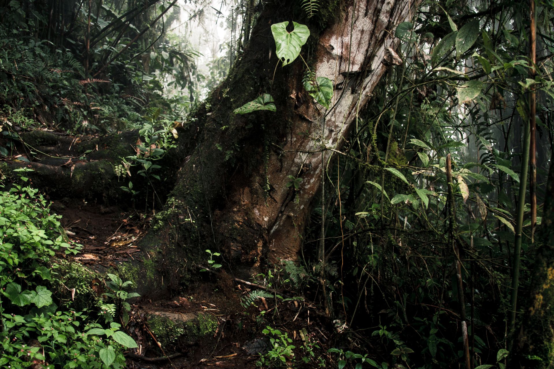
Hearing the indri call in Andasibe
An early start for a call that carries through the whole rainforest, well before the first other visitors arrive.
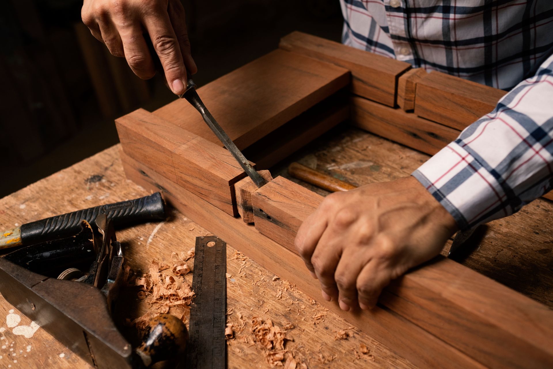
Watching woodcarving take shape with the Zafimaniry
In the mountain villages around Ambositra, craftsmen still work with techniques passed down through generations.

Smelling vanilla in the Sava region
Around Sambava and Antalaha, among plantations that supply much of the world's vanilla.
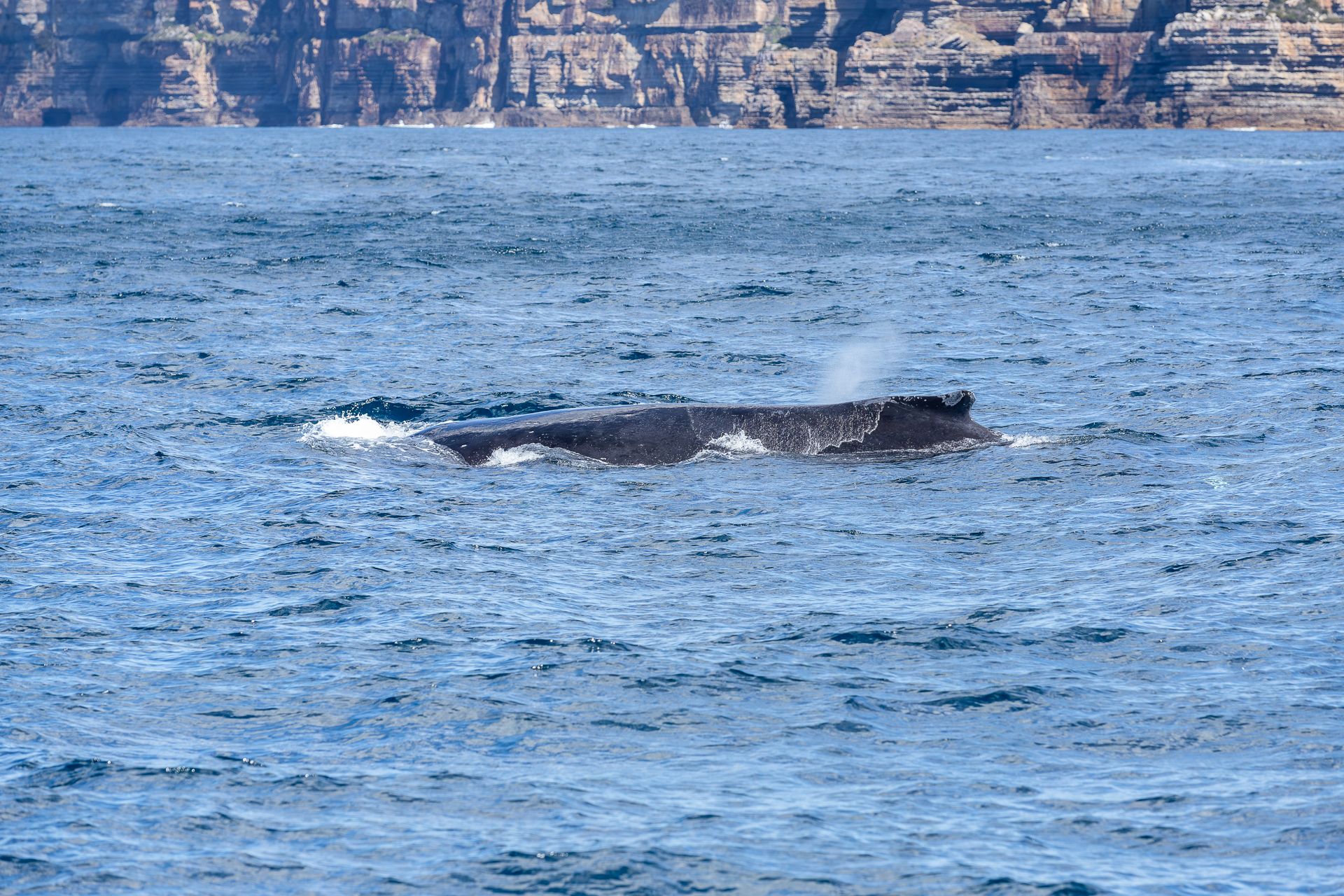
Watching whales off Ile Sainte-Marie
Between July and September, humpback whales migrate along the east coast to calve.
Each of these moments fits into a route we build around your pace and interests, not the other way round.
When would you travel?
When to go to Madagascar
The dry season, from April to November, is the most pleasant for most regions: less rain, cooler evenings in the highlands, and from July to September a chance of whales off Sainte-Marie. The east coast stays wetter than the rest of the island even then. It is, after all, rainforest.
From January to March, the risk of cyclones increases, particularly on the east and north coasts. That doesn't rule those months out entirely, but it calls for a route that takes it into account.
Jan
Feb
Mar
Apr
May
Jun
Jul
Aug
Sep
Oct
Nov
Dec
Top: dry, pleasant and with the best chance of wildlife and whales.
Good: transition months, greener, quieter, with the occasional shower.
Fair: rainy season or heightened cyclone risk, particularly on the east and north coasts.
Worth knowing
Practical, without the noise.
A few points we factor in when mapping out a route.
- Getting there
- There is no direct flight from Belgium; the usual connections run via Paris, Addis Ababa, Nairobi or Istanbul. Within the island, a domestic flight is often faster than the road.
- Documents
- A visa is arranged on arrival or online in advance; a passport must remain valid for at least six months after the travel date.
- Health
- Malaria prevention is recommended across the island. A yellow fever vaccination is only required on arrival from a country where the disease occurs.
- Pace
- Distance on the map says little about travel time. We deliberately build in margin for that, rather than overloading a route.
- Currency
- The Malagasy ariary. Cash remains necessary outside the larger towns.
Madagascar does not adapt to the visitor.
It is up to you to find its pace.
Frequently asked questions
What people usually ask us before setting off for Madagascar.
Is Madagascar safe to visit?
As with most destinations outside Europe, it calls for common sense and a route that takes into account which areas suit a visit at which time. Our local expert keeps a close eye on that.
Do you need a 4x4?
Outside Antananarivo and the larger national parks, yes. Many roads are unpaved or in poor condition, especially after rain.
Can you combine the whole island in one trip?
Not realistic, and not necessary either. Most trips deliberately choose two or three regions rather than making a short stop everywhere.
Is a visit outside the dry season worthwhile?
Certainly in the highlands and the north. The east coast is noticeably wetter then, and cyclone risk plays a role early in the year.
Or perhaps this
Other destinations
Still weighing it up? That is no problem at all. The right country often only becomes clear once the conversation starts.
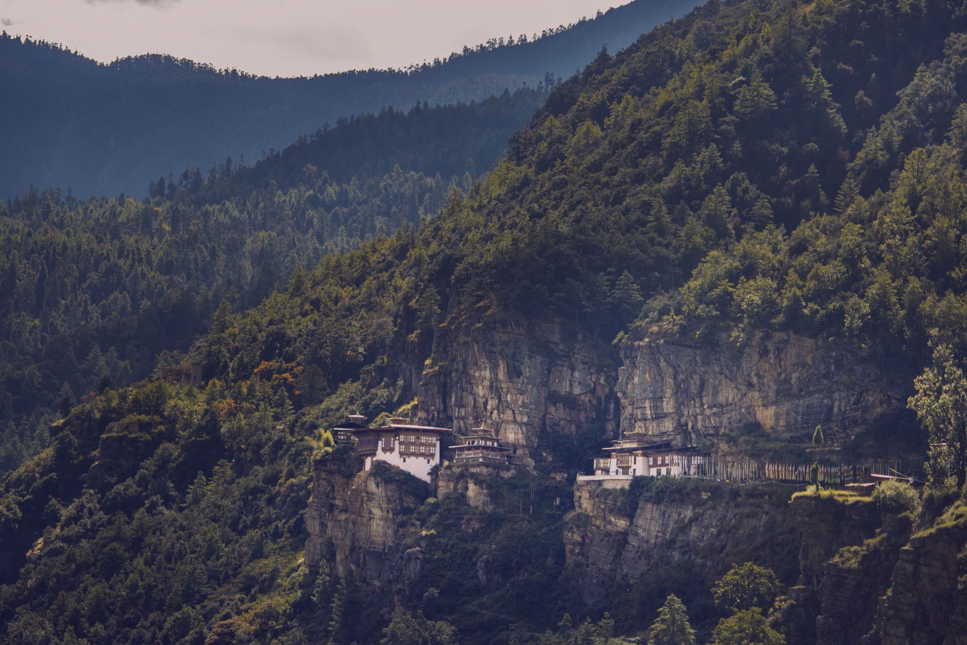
Eastern Himalaya
Bhutan
Monasteries clinging to cliffs, valleys without traffic and access the country deliberately keeps limited, a calm its neighbours lost long ago.
South-East Asia
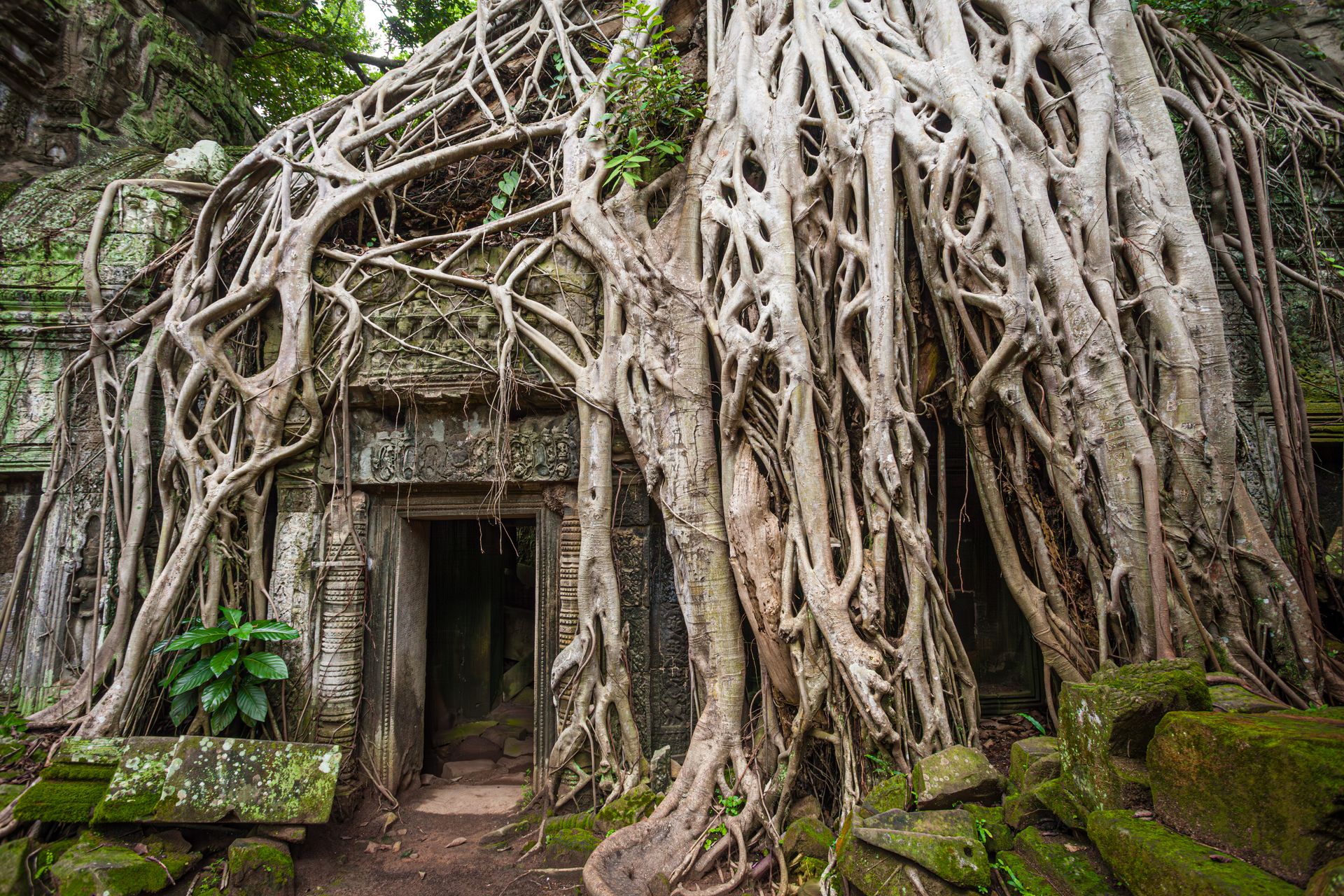
Cambodia
Overgrown temples and a quiet resilience that say more about the past than any history book.
East Asia
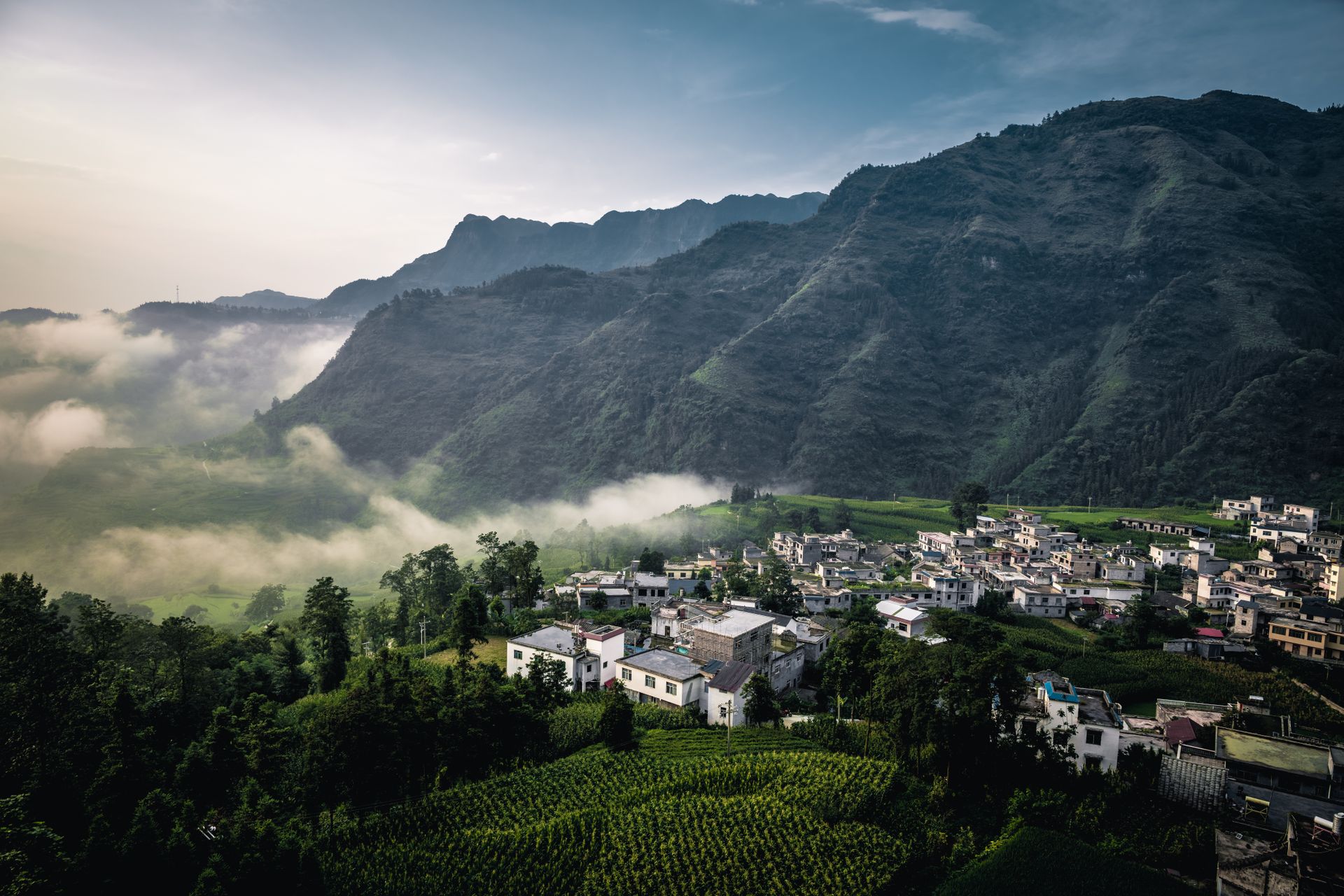
China
Ancient traditions, fast-paced cities and still landscapes exist side by side, in a country that seems to reinvent itself everywhere you look.
How it works
This is how your journey to Madagascar takes shape.
Six steps, from your first story to your homecoming. The conversation and the feasibility check cost you nothing.
-
01
Tell us your story
Fill in the form or give us a call. You do not need a route yet: a country, a period or just an idea is enough.
-
02
The conversation and the check
We talk through what you are looking for, by phone or by video, and check whether it can be done. If it can, we set down together what we will make for you.
-
03
We design your journey
We build your programme up, day by day, together with our own people in the country itself.
-
04
Your proposal
You read your journey day by day, with everything that is included. You say what you would like differently, until it is right.
-
05
Ready to depart
You send us your details, we send you your travel documents. You have one fixed contact who knows your journey.
-
06
Travelling, and after
Your contact stays reachable while you are away. Once you are home, we call one more time.
The next step
How would you like to discover Madagascar?
Tell us what draws you: the baobabs, the lemurs, the stillness of the highlands or the water around Sainte-Marie. We work out which regions and which pace fit best.